All-In-One Offline Maps v3.15c MOD APK (Premium Unlocked)
All-In-One Offline Maps is a map application that includes many different types of maps. You can store extensive maps and view directions even when offline with just one online access.
| App Name | All-In-One Offline Maps |
|---|---|
| Latest Version | 3.15c |
| Update | Jun 16, 2024 (11 months ago) |
| Size | 7MB |
| Category | Maps & Navigation |
| Developer | Psyberia |
| MOD Info | Premium Unlocked |
| Google Play ID | net.psyberia.offlinemaps |
All-In-One Offline Maps Description
Suppose you are looking for a navigation application that can be used in areas with no coverage or no network connection. In that case, All-In-One Offline Maps is the best application I recommend. With just one online access, the map of that area (or country) will be stored and displayed with this application. This will be an essential tool for those who want to adventure to adventurous areas or travel to other countries. It will give specific directions, and you are not afraid of getting lost if you go with it.
A VARIETY OF DIFFERENT MAPS CAN BE USED
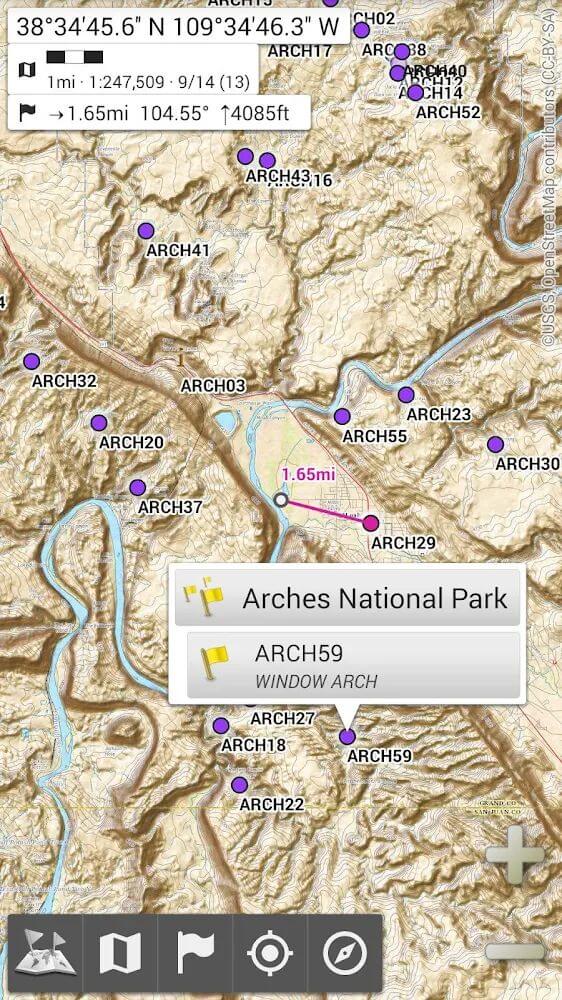
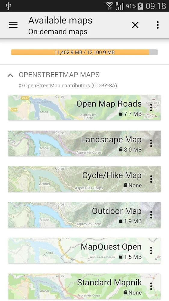
If you want to have adventures or travel to strange places without a tour guide or companion, you can go with All-In-One Offline Maps. This is a directions app with many different types of maps available. These include classic maps, aerial maps, topographical maps, and more.
DISPLAY & STORE UNLIMITED LOCATIONS
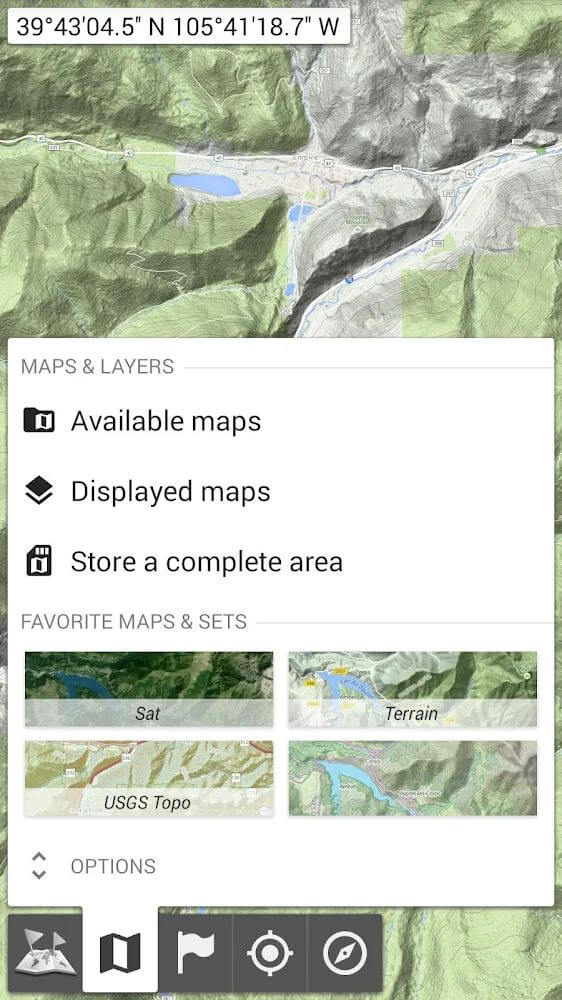
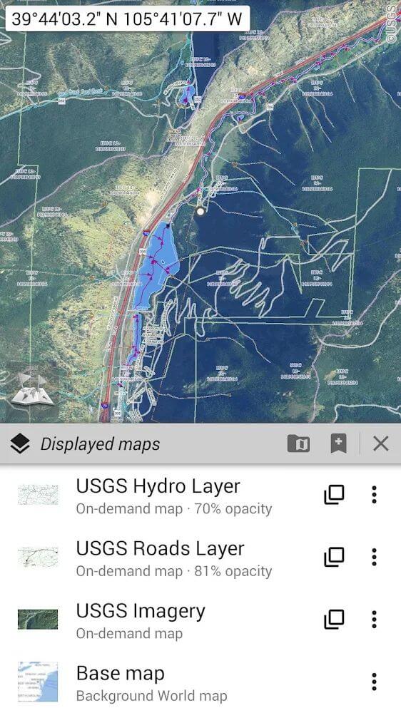
When updated on the application, every map is arranged in neat layers. Observe them all and manipulate them with precise opacity. With just one access to any location, you can store it and use it offline with this application. All are saved unlimitedly. In particular, users are allowed to add different points as references…
HAVE CLEAR GPS ORIENTATION FOR EVERY LOCATION
When storing locations, you can manage them with SD explorer. You are allowed to add or remove any spaces when using All-In-One Offline Maps if you feel they are no longer needed. Every location you visit has a clear GPS orientation, and users can rotate the screen or map to control directions more easily.
DISPLAY DISTANCES OF LOCATIONS OR ELEVATIONS
The application offers many different types of maps with specific metric distance units. In addition, when you learn about any location, the application will give specific indicators of global distance or completion time. In particular, it also offers different routes for you to experience.
SOME FEATURES
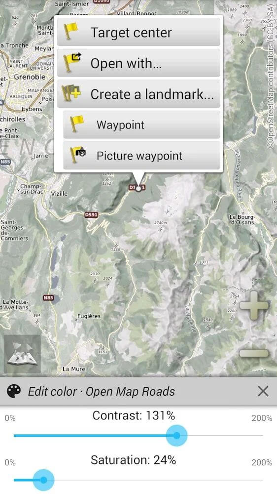
- Various types of maps can be used such as classic, topographic, aerial… with precise usage & opacity control.
- Customize and store destinations easily for offline use, and add and remove other spaces if no longer in use.
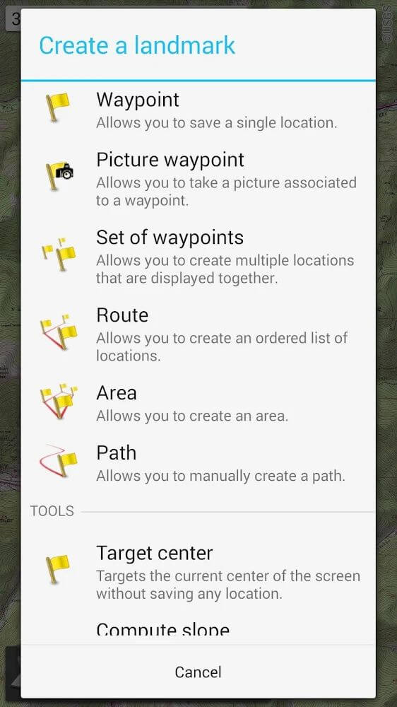
- Manage added items, add items like waypoints, charts, or routes with step-by-step instructions.
- Customize the location & direction on the map with GPS; users are allowed to adjust or rotate the directions on the screen to observe.
- The application provides metrics with different units; you can manually enter hundreds of coordinates by adding to the web and storage.
